Hello from tater land! We arrived safe and sound here in Victor, Idaho on Thursday, after a pleasant and very scenic drive from Salt Lake City. The majority of the trip was on I-15 to Idaho Falls with the last 70 miles through some of the most scenic country we've seen. Idaho is indeed known as the potato state and we can attest they have earned the title. The country we traveled through is mile after mile of potato and wheat fields and is starkly beautiful with the contrast of dark green potato fields adjacent to fields of golden wheat. Nearby Bingham County claims to produce one third of the nation's potatoes and is the largest potato producing county in the nation.
We are only about ten miles from the Wyoming state line and about twenty miles from Jackson, Wy. Victor and Jackson are connected via Highway 22, that crosses a very large mountain of over 8,000 feet above sea level with ten percent grades on both sides. I wouldn't recommend pulling or driving an RV across that mountain! The Teton Mountain Range separates the two states with the Grand Teton National Park being on the Wyoming side. There is a big benefit staying on the Idaho side of the Tetons, of which, not much of the crowds or commercialism has found their way here. It's an unspoiled community that is pretty much as it was years ago. Some of the tourist activity has spilled into Victor, but is minuscule compared to Jackson. The region is very scenic with views of the majestic Tetons for miles against the green and gold fields of potatoes and wheat. The only issue we've had is decreased visibility due to smoke from multiple wildfires burning in Yellowstone National Park and one smaller one in Grand Teton NP.
We are staying at Teton Valley RV Park, a nice park with drive through full hook up sites. we're paying about $60/night with our Good Sam discount. It's a pretty steep price, but nothing else in the area was available with the price being driven by supply and demand.
 |
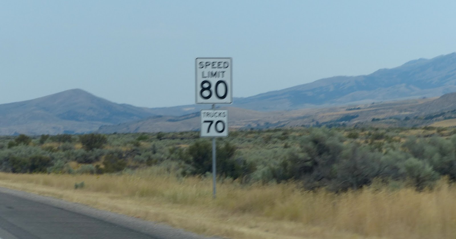
| A lot of I-15 has a speed limit of 80 mph. We just putt along and enjoy our ride. |
 |
| Hay bales here are huge. These are closer to the size of bales of cotton back home. |
 |
| Potato field with irrigation system. A lot of the fields here use irrigation, but not all. They tell us this summer has been unusually dry. |
 |
| Wheat field with Tetons in background. The visibility was not as good as we had hoped due to the wildfires in Yellowstone. |
 |
| Irrigation system in wheat field. |
 |
| We saw a lot of fences built like this one. |
 |
| Many scenic highways in the area. |
 |
| The area gets a lot of snow in the winter. There are markers like this one spaced about 100 yards apart on both sides of the highway to show the snow plow operators where the road is. |
 |
| I first thought these bee hives were not being used, but upon closer inspection found out there were full of busy bees getting ready for winter. |
 |
| If you look closely, you can see smoke from one of the wildfires in Yellowstone. |
 |
| The farmers are busy harvesting their wheat. The potatoes aren't ready for harvest yet. |
 |
| Highway leading to Mesa Falls. |
 |
| Lower Mesa Falls. We met a couple there from Charlotte. |
 |
| Visitor's Center at Upper Mesa Falls. |
 |
| Upper Mesa Falls. The walk to get there was down many flights of stairs. You could actually get pretty close to the falls. The lower falls trail was above the falls and further away. |
 |
| Upper falls. |
 |
| We traveled to the Grand Targhee ski resort near the town of Driggs. The resort is very popular with the mountain biker enthusiasts in the summer. We were there for the view of the west side of the Grand Tetons. We had to ride the chair lift to the top of the mountain for the view. The ski season runs from Thanksgiving to mid April. They average over 500 inches of snow in the winter! The lift ticket was $15 for all day. We only went once! |
 |
| I had to do a little coaxing to get Crickett on the chair lift. |
 |
| The ride up and down wasn't bad at all. I would guess there was a 2000 foot elevation change from the way my ears were popping and the temperature change. A jacket felt good on the top. |
 |
| At the top. There's a trail leading to the plateau on top. |
 |
| Made it! The elevation at the top was over 9800 feet! |
 |
| View from the top. Visibility wasn't great due to the smoke and light angle. |
 |
| They have three different chair lifts and many slopes. |
 |
| At the top. The mountain bikers were having fun! They said the ride to the bottom was about 20 minutes of thrills!Most wore helments, padding and guards to protect them from falls. |
 |
| Notice they all have on jackets. It was about 50 degrees with a cool breeze on top. |
 |
| Check out the bike on the side of the chair lift. They won't let anyone ride on the same chair the bikes are riding on. |
 |
| The nice lift operator agreed to take a picture of us. Check out the view of the valley below. |
 |
| Only snow making equipment is at the bottom on the beginner's slopes. |
 |
| Drive in theatre near Driggs had this "potato" on the back of an old Chevy truck. |
 |
| The Snake River that runs through the valley. They advertise world class trout fishing and we saw many boats on the river. |
 |
| Crickett wanted to stick her toe in the Snake River! She said that water was COLD! |
 |
| Typical style boats used on the river. The boats are narrow in the front and back and designed for rowing on mountainous rivers. We didn't see any with motors. |
 |
| I took this closeup of a bridge support to show how fast the current was moving. It was some of the fastest current I've seen in a river. |


Joe, I just wanted to let you know that we truly have enjoyed your blog. So much so that we may have to travel to some of the spots that you have traveled. To bad we did not get the chance to see you and Cricket when you were in Moab, (just 80 miles from us). Keep up the great commentary, it truly is inspiring.
ReplyDeleteHey Kari,Thanks for the nice comments and glad to hear you're riding along with us and enjoying the blog. Sorry we didn't get a chance to connect when we were closer. If you don't mind me asking, how did you discover our blog? I'm always happy to have new followers and encourage our friends to spread the URL. We're off to Cody in the morning, so buckle up!
ReplyDelete